Hydrographers, “your time is now”, writes Rear Adm. Shep Smith, Director of NOAA’s Office of Coast Survey.
“There has never been a better time to be a hydrographer. Our skills, data, and technology are in high demand globally, driven by an increased emphasis both on supporting the blue economy and of protecting the ocean upon which all life on earth depends. The UN declared this decade the “Decade of Ocean Science for Sustainable Development,” and that vision specifically calls out the need to map the world’s oceans”, Rear Admiral Smith points out.
And there still is a big need to map the oceans. Astonishing though it may seem, even in 2020 about 54% of the the USA’s marine waters are unmapped!
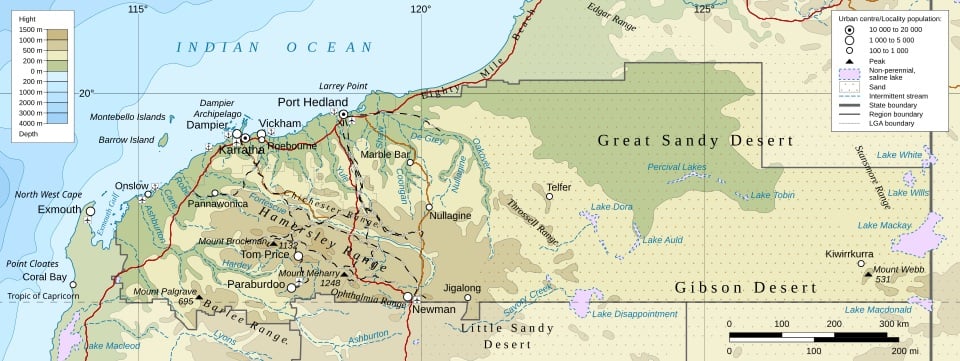
Closer to home, Mainland Australia has one of the longest coastlines on Earth, measuring almost 32,255 nautical miles (59,736 kilometres). Add the islands and territories for which Australia has charting responsibility and the total Australian Charting Area encompasses a whopping 13 million square nautical miles. That’s nearly 45 million square kilometres and almost 6 times our land area. Anyway, its big and covers about one tenth of the world’s oceans.
The Australian Charting Area is so much bigger than the land and marine areas under Australian sovereignty because it also includes large portions of the Indian Ocean and the Southern Ocean.
So hydrographers have a real big job to do here in Australia too. That job comes under the responsibility of the Hydrographer of Australia Commodore Fiona Freeman, RAN who is head of the Australian Hydrographic Service, and organisation that is celebration its centenary on 1 October this year.
Australia’s maritime trade and security both owe a great debt to the Australian Hydrographic Service. Read about their first 100 years in our article “No day too long, no task too arduous – 100 Years of making shipping safer – a century of achievements of the Royal Australian Navy Hydrographic Service“, which was published in the 2020 Autumn / Winter edition of Shipping Australia.
Do you want to know more? World Hydrography Day
According to the International Hydrographic Organization, the work of hydrographers contributes to the safety of navigation, the protection of the marine environment, coastal zone management, marine spatial data infrastructures, defence and security, resource exploration, and a variety of other aspects of the oceans-related economy.
You can find out more about this field of applied science as World Hydrography Day will take place shortly on 21 June. This year the focus is on the role that hydrography can play in support of autonomous marine technologies.
You can find out more about Australia’s sea-territories by visiting the marine sections of Geoscience Australia or by visiting the Australian Hydrographic Office.
Whetted your appetite for more? Well you can sign up for a range of free webinars from AusSeaBed, a joint initiative by Geoscience Australia, the Australian Hydrographic Office and the CSIRO Marine National Facility together with a variety of academic and industry stakeholders. Those webinars are due to take place shortly, so don’t delay, book your spot today!